| ~~~~~~~~~~~ |
|
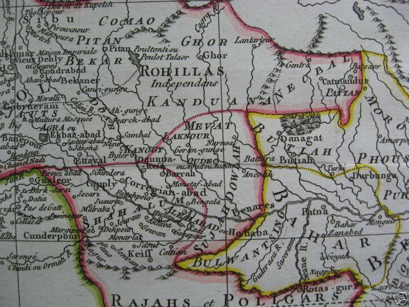
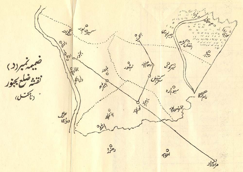
showing the "independent Rohillas"* |
| *A map of the region around Bijnor; by SDUK, 1861* |
|
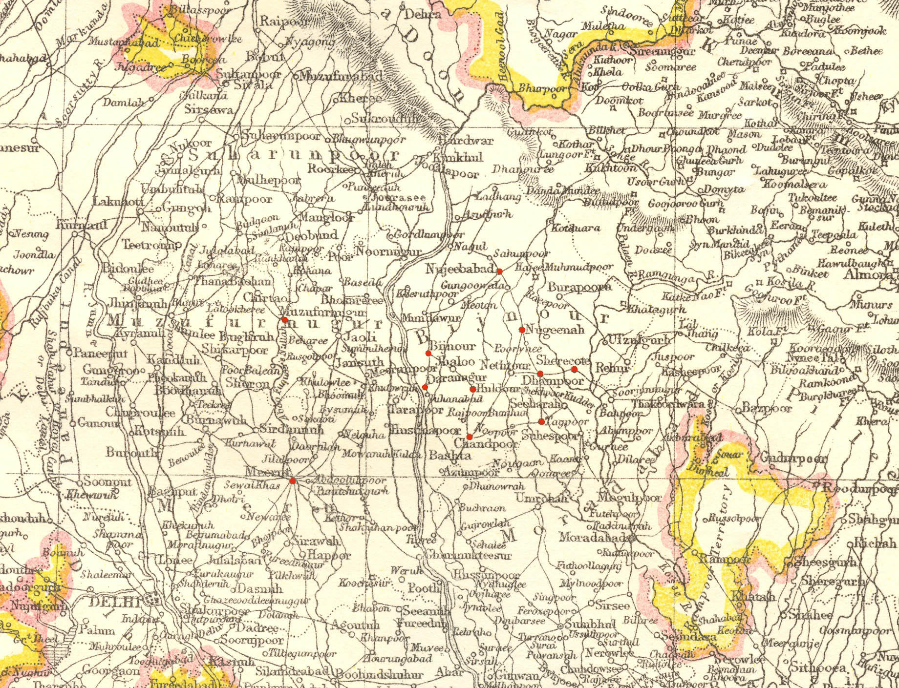
(some of the important towns are marked with red dots) |
|
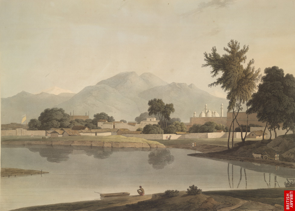
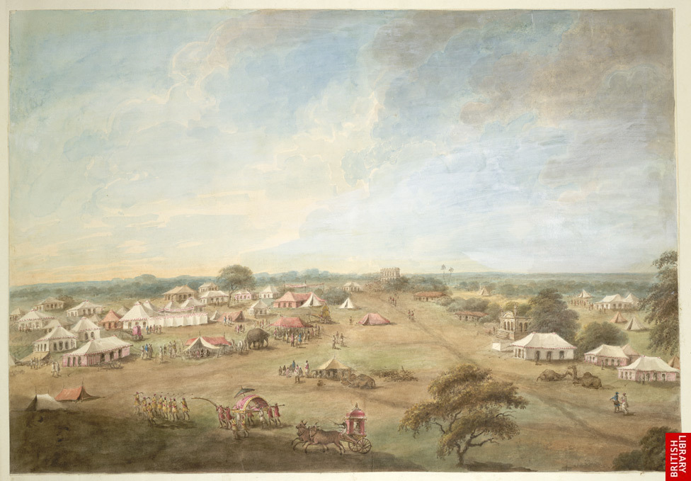
*Patthar Garh Fort, Najibabad*: *image*; by Seeta Ram, 1814-15 *Rohilla horsemen*: *image*; by Seeta Ram, 1814-15 *Mughal encampment at Moradabad*: *image*; by Seeta Ram, 1814-15 |
|
from Sarkashi-e zila-e bijnor, ed. Sharafat Husain Mirza (Delhi 1964) |
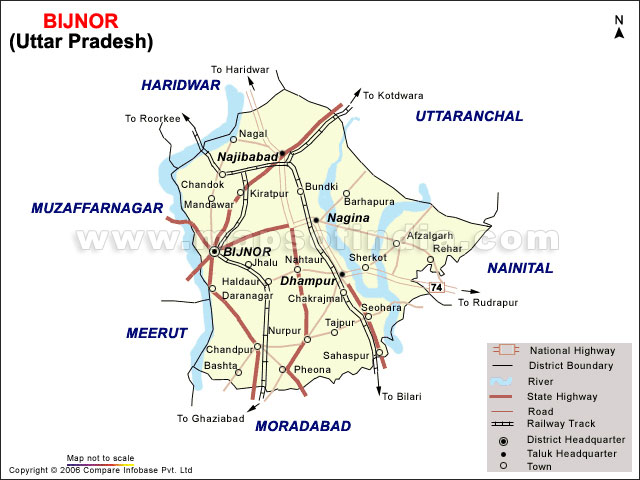
| *A modern map of Bijnor District* |
| ~~~~~~~~~~~ |
| *maps of the Rebellion of 1857* |
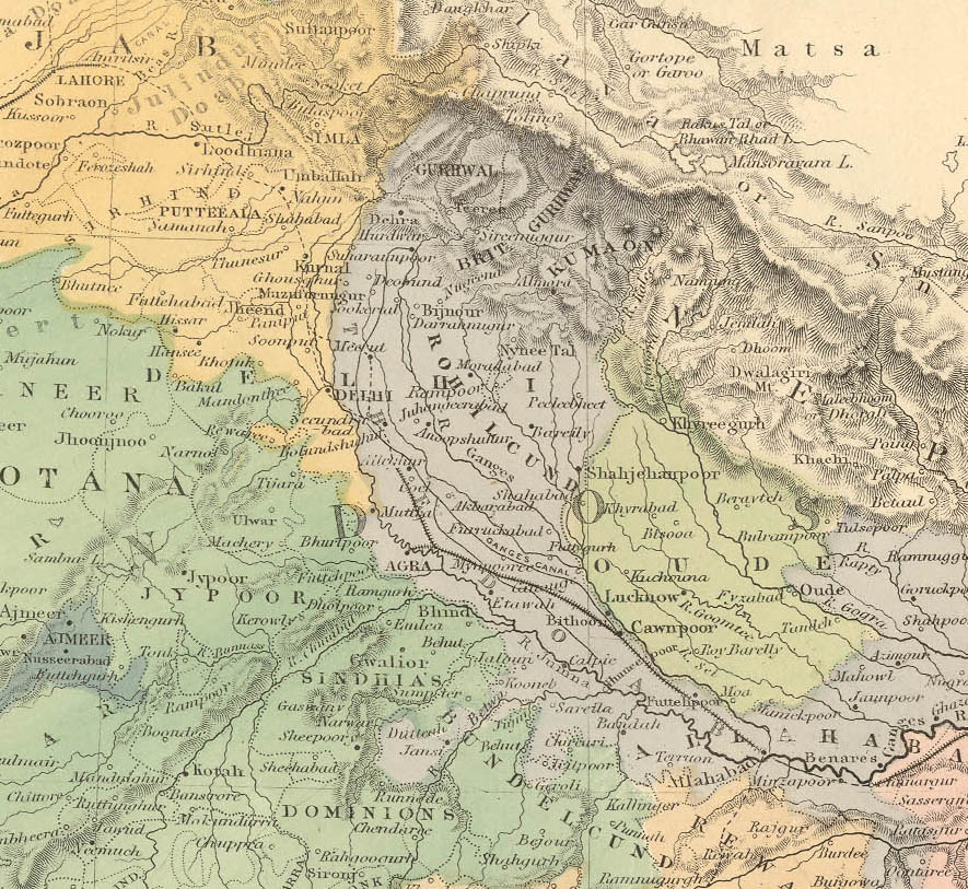
| *Bijnor District, according to the Imperial Gazetteer* |
|
|
| ~~~~~~~~~~~ |